
In the far reaches of Newfoundland and Labrador, a highway nearly a quarter-century in the making is unlocking isolated communities, redefining tourism, and leading travelers straight into the heart of Iceberg Alley.
The ocean’s ancient passengers
Standing on the jagged cliffs of Newfoundland’s northern coast, I searched the cold, churning waters for something ghostly white. Out there, where the steel-colored Labrador Sea meets the horizon, icebergs drift down from the glaciers of Greenland and Arctic Canada, riding the currents like wayward monarchs. Each one is a fragment of geological time, carved from ancient ice and sent on a slow, solemn voyage southward.
Newfoundland’s coastline is synonymous with Iceberg Alley – a stretch of water famed for delivering these gleaming giants each spring. But spotting one from land is no guarantee. My husband Evan and I had spent a week road-tripping through the province, trailing satellite maps and iceberg reports like treasure hunters. And yet, at every promising turn, the illusion of white on the water turned out to be a froth, cloud, or fishing boat.
Still, the allure of the iceberg is not just its presence, but the landscape it helps you discover in pursuit. Craggy sea stacks, osprey nests, abandoned outport homes, and forests of tuckamore – the low, wind-twisted trees of the boreal edge – create a backdrop that feels at once elemental and strangely timeless. Nature, in this part of Canada, doesn’t just surround you. It tests your resilience.
A road carved from isolation
It’s no small irony that a place defined by water would eventually be reshaped by a road. When Newfoundland joined Canada in 1949, there were only 195 kilometers of paved roads across a province with 29,000 kilometers of coastline. For generations, the sea was the only highway – a lifeline to trade, food, and family.
But the sea is unforgiving. And in time, the need for modern infrastructure brought change. Roads were built to connect inland towns, but many coastal villages were left behind. More than 300 outport communities were eventually abandoned, their houses reclaimed by salt air and moss.
Now, decades later, a new highway is reversing the narrative. Expedition 51 – officially the Trans-Labrador Highway – spans over 1,200 kilometers of rugged terrain, connecting Quebec to the southern coast of Labrador, and onward to Newfoundland. It took nearly 25 years and C$1 billion to complete, but the result is a transformative artery that links isolated communities, unlocks tourism potential, and bridges a history stretching back more than 9,000 years.
In Red Bay, a small town nestled along the Strait of Belle Isle, city manager Keith Pike returned home after years away. “A new road can change everything,” he told me. “People like me are able to come home because of the opportunities it’s creating.”

Culture on the move
Expedition 51 is more than a road—it’s a cultural corridor. In Indigenous communities, the highway is already sparking grassroots entrepreneurship. Barbara Young of the Newfoundland and Labrador Indigenous Tourism Association sees it as a powerful tool for cultural revival. “We’re seeing new ventures grounded in heritage,” she said. From Inuit artwork at Caribou Place in Mary’s Harbour to guided wilderness treks with Kaumanik Adventure Tours, the road invites travelers to learn, not just look.
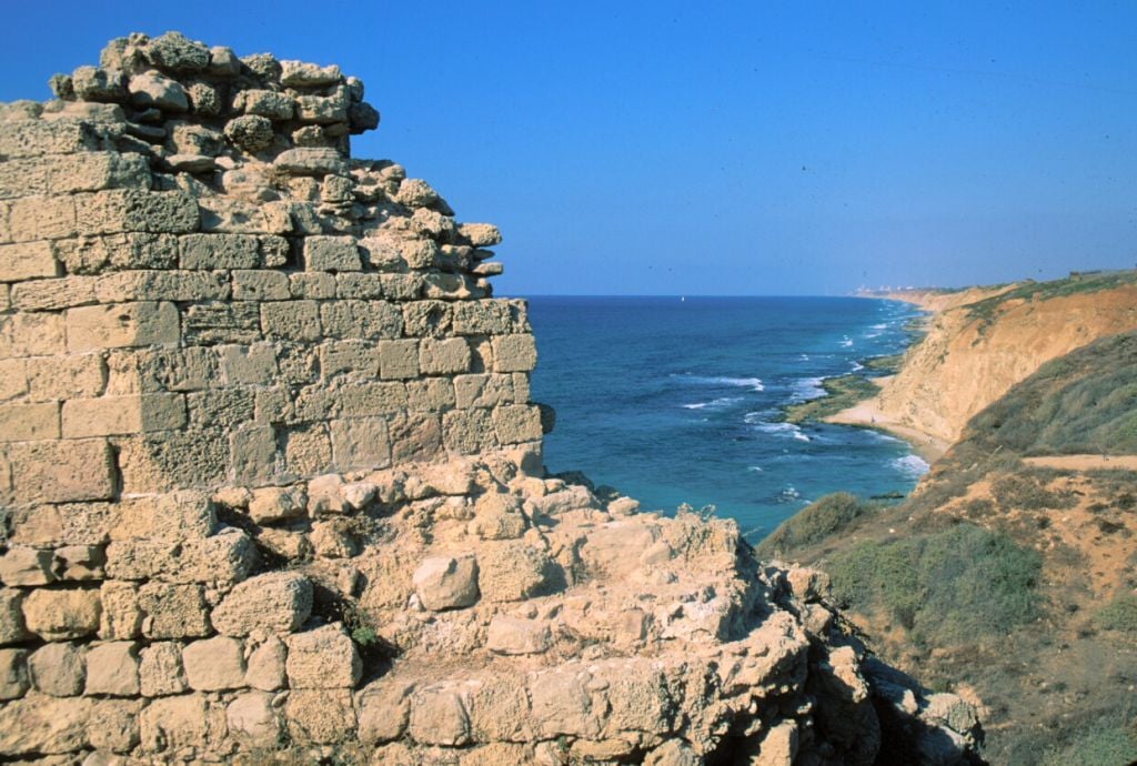
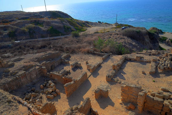
Red Bay itself offers a compelling window into early global commerce. In the 1500s, it was a bustling Basque whaling station that supplied Europe with whale oil. Today, Parks Canada has reimagined the site as a vibrant heritage attraction, complete with a visitor center, walking trails, and archaeological boardwalks where whale bones still mark the shore.
As Evan and I continued our journey, now chasing reports of drifting icebergs along Expedition 51, we encountered new tourism operators like Whaler’s Quest Ocean Adventures, offering boat tours and traditional songs from local musicians like Pike. The road, it seems, is creating a kind of cultural feedback loop: returning descendants, empowered locals, and curious visitors, all converging on this windswept frontier.
Icebergs, industry and reinvention
In a province forever haunted by the Titanic—and over 600 other recorded ship-iceberg collisions—embracing iceberg tourism might seem ironic. But these icy leviathans, once feared hazards to fishing vessels, now offer a glimmer of economic hope for communities long in decline.
Twillingate, a town once reliant on cod, was among the first to embrace the iceberg economy. After the fishery collapse of the 1990s, the town reinvented itself. Roads, built in the 1970s, allowed easier access. Locals turned footpaths into hiking trails, launched iceberg-watching tours, and started businesses like Great Auk Winery, which uses iceberg water in its unique brews.
Even though the icebergs eluded us for days, Twillingate gave us something else: a new perspective on Newfoundland’s evolving identity. We were guided to puffin colonies and lighthouse lookouts, invited to sample bakeapple (cloudberry) wine, and urged to learn the story of the Beothuk people—an Indigenous culture that vanished from the island. “They’ve given people a reason to come home,” a winery staffer told us as we sipped wine infused with golden berries and ancient water. It was more than a drink. It was a taste of tradition, transformed.
Where the ice leads
On our final morning, we drove north again along Expedition 51, tracing the highway to Red Bay one last time. And there, glittering on the horizon, appeared: an iceberg. Massive, serene, adrift just offshore. It had taken millennia to form, years to travel, and hours of road to reach.
But at that moment, the ice wasn’t just a spectacle—it was a symbol. Of resilience. Of return. Of a place where stories frozen in time are finally being told.


